The Geographical Information Systems Group specialises in environmental, hydrological, agricultural and engineering applications using GIS remote sensing technology. GIS services are offered in three broad categories that aim to cover all geospatial requirements:
Cartography
Remote Sensing
Geospatial Reports
Geographical Information Systems
Business expansion means leveraging off existing information. GCS provides clients with the spatial intelligence to create, visualise, analyse, present and act on information effectively. The company has developed one of the most consolidated spatial data repositories for Southern Africa which in turn provides spatial support to ongoing projects.
GCS’ database, coupled with open sourced and vendor driven Geographical Information Systems (GIS), gives projects the edge in spatially driven solutions.
The GIS Group specialises in environmental, hydrological, agricultural and engineering applications using GIS remote sensing technology. The company’s GIS expertise is integrated into all the services it offers with the aim of providing geospatial expertise to aid the decision-making process.
GCS’s GIS services are offered in three broad categories that aim to cover all geospatial requirements:
Cartography
Cartography is the practice of compiling maps and charts. Maps and graphical representation of spatial data are commonly required as an end deliverable to summarise the findings within a specialist report. These maps and figures represent a culmination of scientific data that is brought together in a Geographic Information System to present the information gathered in the most practical way.
The company has invested both time and resources into standardising the operating procedure for cartographically derived products to ensure that all maps and figures feeding into the various specialist reports are of the highest quality.
GCS offers its cartographic expertise to a portfolio of clients that all have customised templates for their various mapping requirements. Applications in cartography include the Water, Environmental, Geotechnical, Engineering & Waste Management as well as Social disciplines.
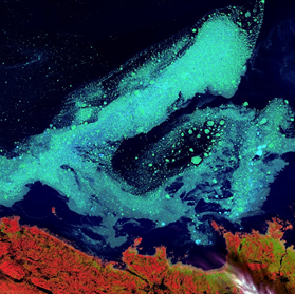
Remote Sensing Remote Sensing is the science of observation while not being in direct contact with the feature being observed. GCS utilises the latest technology in remote sensing to support decision making in all phases of the project life cycle.
The company’s experience in the remote sensing application of project specific requirements has led to the establishment of relationships with reputable suppliers of remote sensing data. All GCS sourced remote sensing data (external and internal) aims to provide value-added applications to spatial data to suit a variety of project scenarios.
Applications include:
• Satellite imagery (medium to high resolution)
• Satellite derived elevation models
• Light detection and ranging (LIDAR) application
• Sonar derived bathymetry
• Synthetic aperture radar (SAR)
• RPAS derived aerial photography and elevation models
• Mineral potential mapping (specifically for exploration)
Geospatial Reports
The fields of geospatial science and earth observation principles are used by GCS to generate geospatial specialist reports that concentrate on the study of a chosen theme. Themes include:
• Visual impact assessments
• Volumetric reports
• Site selection analysis
• Mine closure and rehabilitation spatial data inventories
• Temporal vegetation health assessments